|
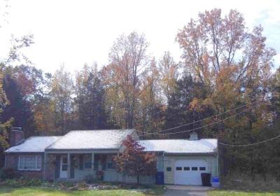
.Barton Arboretum |
 |
|
|
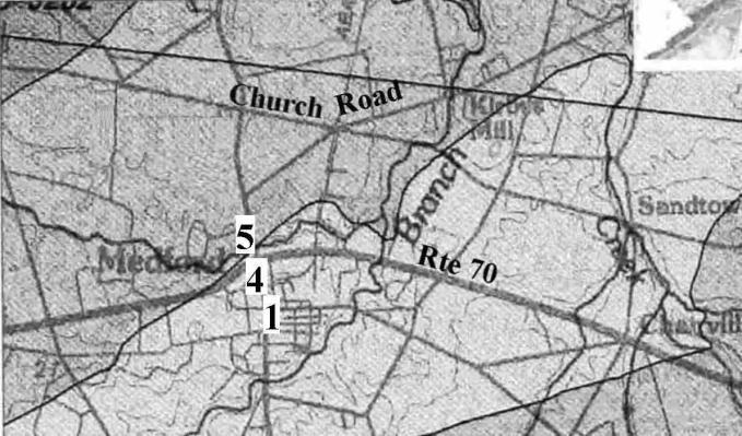
The Nature Preserve In 1993, Ted Gordon, a leading authority on the habitats and flora of the New Jersey Pine Barrens, prepared a report titled "Natural Communities Classification and Report of a 1992 Botanical Survey of the natural area at Medford Leas, NJ." In the introduction Gordon wrote, "Medford Leas lies in the Rancocas drainage of the inner coastal plain. This region...was known to Witmer Stone and other early 20th century botanists as the Middle District. The once massive beech-oak-hickory forests of this region have been fragmented since early settlement. Abundant tillage was their demise...Little remains of [the woods], victims of surburban sprawl and lack of concern. Yet, a remant survives along the Southwest Branch [of the Rancocas] in Medford Leas, a reminder of what once was." A trail map and a GIS map show the natural areas described in Gordon's 1993 report. A print version of the map is available at the reception desk. The
Natural Communities are: |
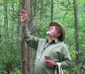
| Medford Leas and Camp Dark Waters, across the Rancocas, lie on the boundary between the fertile inner coastal plain and the sandy outer coastal plain and thus in 1900 at the border between farm land and the Pine Barrens wilderness. Pioneering naturalist Wilbur Stone and his colleagues built Catoxin Cabin, still standing on Camp Dark Waters, as their base of exploration of the wilderness to the east. In October 2011, at a weekend conference celebrating Wilbur Stone's work, Ted Gordon spoke about Catoxin Cabin and led a trail walk at Medford Leas. |
|
|
Natural Communities
Man-Made Habitat The Railroad Embankment
The Railroad Trail The railroad right-of-way from Route 70 to Wilkins Station is lime green on this GIS map.
|
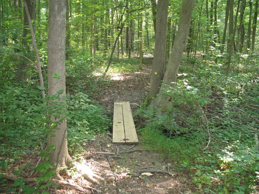
The Gordon report is organized by natural community, as outlined above. Each section of the report describes the habitat (its terrain and soil and often some history), lists the plants in the community (the botanical survey), and makes recommendtions for the management and maintenance of the area. Once there was a a railroad, now there is a railroad right-of-way. Two parts of the right-of-way hold trails. One is the Railroad Embankment, which leads from Route 70 toward parking lot E. A piece of Yellow Trail #14 is on the embankment The other section is called the Railroad Trail. It is approached from the intersection of Estaugh and Medford Leas Way with steps down to a ravine. Gordon called the Railroad Trail a good example of advanced natural selection and said that the only plant of special significance was a Willow Oak perched on the embankment just off Estaugh Way. |
|
|
Palustrine Emergent Wetlands
B.
The Marsh |
|
Four Palustrine Wetlands are described, two with emergent vegetation and two that are forested. Palustrine wetlands are inland, non-tidal wetlands, characterized by the presence of trees, shrubs, and emergent vegetation. Emergent vegetation is rooted below the water but grows above the surface.
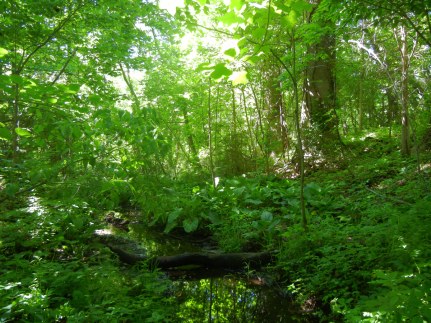
The narrow Hedgerow Seepage Swale, straddling a feeder stream of Sharp's run, lies between the property line and the Bridlington section of the Red Trail. Reaching the stream for the photo at left involved bushwhacking down the slope
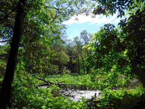
There is a Marsh where Sharp's Run joins the SW Branch of the Rancocas Creek. A number of plants are here and not elsewhere and so Gordon says that to see them it is "necessary but worthwhile," to cross a muck flat upon leaving the trail of The Island. The same might be said of taking a photograph.
|
|
Palustrine Forested Wetlands
A. Sharps Run Floodplain Virtual
tour of the popular Sharps Run Trail Walk (tbd).
|
The Sharps Run floodplain has a mixed forest of fast growing hardwoods. Sixteen species of trees are listed for this community. It is dominated by red maple and includes large Sycamore and Tulip Trees. Several shrubs are listed and several invasive species. A break in the fence of the Berm Parking lot serves as a door to the Red Trail which runs along behind the fence. From this trail one can look both down to Sharps Run and across to the large trees of the Forested Wetland.
|
|
|
B. Southwest Branch Floodplain Virtual tour of forests, marshes, and swales of the Southwest Branch Floodplain. (tbd) |
Gordon's report (p. 10) tells us that with 26 tree species and a number of shrubs, the forested wetland on the floodplain is the most diverse landscape in the natural area. With highly variable soil materials and pockets of microrelief with variable water table there are "numerous microhabitats." The botanical survey tells where particular wildflowers can be seen and recommends a serious effort to prevent advancement of both invasives and horticultural species such as Pachysandra and Periwinkle. |
|
|
Mixed Oak Forest Virtual tour through the Mixed Oak Forest (tbd) |
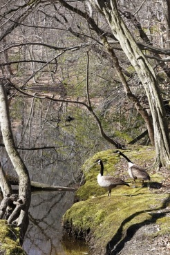
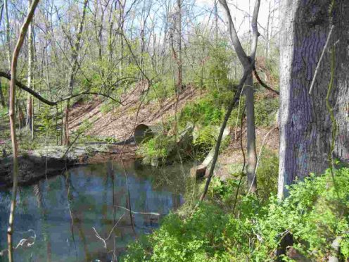
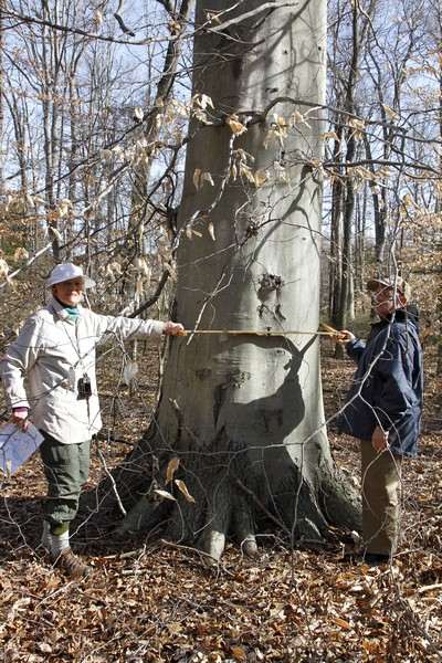
The Mesic Coastal Plain Mixed Oak Forest is a mature native hardwood forest, dominated by oaks, Beech, and Hickory and most of the forest has maintained its native integrity. Marl pits and remnants of an old cabin remind visitors that others that were here before. Page 13 of the report on the 1992 botanical survey provides a list of trees, shrubs, and herbs of the forest. The Holly Grove within the forest is is easy to recognize. However the "Pocket of Variability, between the Red Trail and Kriebel Way, shown on the map as "Pine Barrens Affinity," requires more botanical knowledge -- details on pages 14 and 15 of the report. The ditch beside the road in Rushmore is the start of Sandy Run which flows through the forest, passing under two roads and two trail bridges before reaching Rancocas Creek at the point shown in the photo with the geese. Camp Dark Waters is across on the other side of the creek. |
|
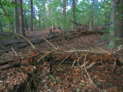
| During Gordon's trail walk in October 2011, he explained that twenty years earlier this area along Yellow Trail #1 was a Virginia Pine forest. Now some large pines are still standing, but many have fallen, replaced by oak, beech, and hickory, the predominant trees of a climax, or mature, forest in this region. The pines did not die of disease or environmental change. They died because they have a short life-span of about 75 years. They grew where there was an open field surrounded by hardwood forest. Now, after 75 years, they are giving way to their successors. Gordon said this small area of Virginia Pine is one of the most striking examples of succession that he knows of. He also said that Medford Leas is exceptional in its preservation of natural habitat, which all around us has been taken over by development. |
|
|
B.
Sweetgum Stand |
|
The Sweetgum Stand is a more recent successional forest, growing up in a farm field that was abandoned about 1970, shortly before Medford Leas acquired the property. It's an attractive landscape tree, with lovely fall foliage, an important hardwood, and an interesting, attractive natural community in the Preserve. However, because these pioneers move into open land, the removal of Sweetgum is necessary to maintain the meadows, which are neither natural nor a part of the preserve.
|